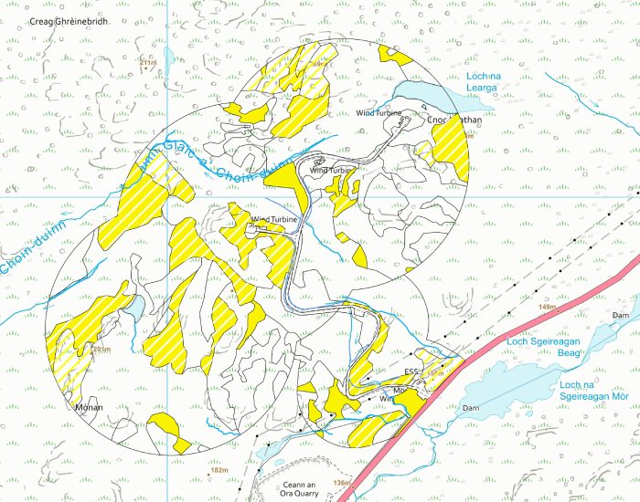
IMTECO have dedicated staff that undertake onsite data capture and use of GIS, which is the core delivery component for visualising and analysing data for a project. This includes both field and desk-based data capture, assisting in the quantitative data analysis and the production of reports for the following services:
Geographic Information System and Mapping
Geographic Information System and Mapping
- Site option appraisal and layout design
- Ecological and Environmental constraints mapping
- Habitat mapping and analysis (Phase 1, UKHab, NVC, GWDTE)
- Peatland assessment, including peat depth and condition data
- Species mapping
- Bat survey data
- Ornithology data mapping and management: Vantage Point Surveys and Collision Risk Analysis
- Hydrological mapping: watercourses, catchment assessment, flood mapping and surface water management
- Biodiversity enhancement and Biodiversity Net Gain data
Interested in our service ?
Lorem Ipsum is simply dummy text of the printing and typesetting industry. Lorem Ipsum has been the industry’s standard dummy text ever since the 1500s
Checkout our other services
Lorem Ipsum is simply dummy text of the printing and typesetting industry. Lorem Ipsum has been the industry’s standard dummy text ever since the 1500s